

- << Back to Blogs index
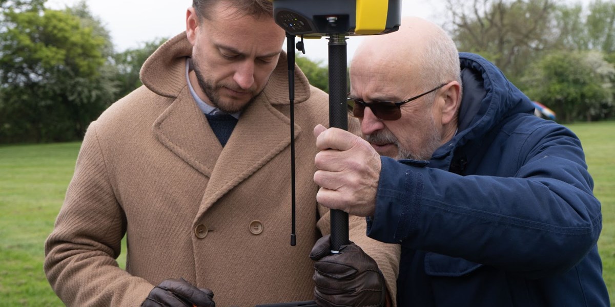
What is a GNSS Receiver and how does it work?
What does GNSS mean?
First of all, let’s define what we’re talking about, because it’s easy to be buried under a pile of acronyms when you first start out. GNSS stands for Global Navigation Satellite System,and what it amounts to is using the signals from satellites to pinpoint where you are on earth. This is obviously technology that has become far more accessible in recent years to the point that we’re all carrying little satellite navigation systems in our pockets, but our phones don’t get anywhere the level of accuracy that you need for surveying and this article will explain why, along with outlining some features to look for when you’re choosing what GNSS receiver you want to buy.
The technology was first developed by the US Air Force (who initially called it NAVSTAR) as the Global Positioning System (GPS) and it was restricted to only their defense forces. The first four GPS satellites were launched in 1978, but it wasn't until 1995 that the system became fully operational. That was because a minimum of 24 satellites had to be launched in order to provide full coverage around the globe. When this technology first made it out to the consumer, the name GPS kinda stuck, but really GPS is just the American constellation. In the early days, there were deliberate errors inserted in the data for the non-US military users, as the Department for Defence decided that they didn’t want the enemies of America taking advantage of this nifty new technology.
Probably partly due to the inaccuracy caused by errors that the Americans charmingly called ‘Selective Availability’, other nations realised that they needed satellites of their own rather than relying on a capricious superpower. So Russia put up their own system, known as GLONASS, short for ГЛОбальная НАвигационная Спутниковая Система if you speak Russian (non-Russian speakers will probably recognise the “Sputnik” part of GLObal'naya NAvigatsionnaya Sputnikovaya Sistema) Even though Bill Clinton eventually agreed to stop throwing off the data from GPS, the Europeans thought it better to have their own satellites to rely on and so launched the Galileo system (this one’s not an acronym - it’s just named after the famous astronomer who was imprisoned by the inquisition for having had the temerity to argue that the Earth orbited the sun rather than vice versa)
And they’re not the only ones. Depending on where you’re using your kit you should also be aware of China’s Beidou, India’s Indian Regional Navigation Satellite System or IRNSS (Operational name NavIC) and Japan’s Quasi-Zenith Satellite System or QZSS. When you buy a GNSS receiver, one of the things to check is whether it will function with these other constellations; the more satellites you use, the quicker you’ll get a fix, and the better the accuracy will be.
So how does GNSS work?
It’s a bit like the resection or freestation we discussed in our previous article about total stations but instead of working out where it is by measuring some targets and triangulating its position, it does so using the signals sent from satellites. Fundamentally it’s all just a question of geometry and some clever algorithms inside your equipment.
Our satellites orbit the Earth once every 11 hours, 58 minutes and 2 seconds at a medium-orbit altitude whilst transmitting coded signals containing the satellite’s precise orbit details and a very stable time stamp from an atomic clock.
The signal contains data that a receiver uses to compute the locations of the satellites and adjust for accurate positioning. The receiver then uses the time difference between the time of signal reception and the broadcast time to compute the distance, or range, from the receiver to the satellite. When the receiver knows the precise position of itself with respect to each satellite, it translates its own position into an Earth-based coordinate system, thereby giving the result in latitude, longitude and height/elevation. This position is based on a computation of the earth’s shape or geoid, so you’ve got to be careful when switching between your total station and GNSS receiver. This can be achieved by doing a ‘site calibration’ with your GNSS receiver measuring points that you’ve already surveyed with your total station. You can then work with a scale factor to make sure that over larger distances there aren’t discrepancies in your measurements. This is all very easy to do in Geomax’s X-Pad software and we’re happy to provide support if you have any questions.
A visual representation of why scale factor when switching between total station and GNSS receiver is important.
How accurate will my GNSS receiver be?
This depends on a number of factors, but the first thing to understand is that to get accurate positional data rather than what is called a “float” position, you need to get corrections. This boils down to more information being sent to your rover that can allow it to compute its location down to the centimeter for example rather than a metre. There are three main ways this is achieved:
RTK or Real Time Kinematic
This is the most common method of getting corrections. With a SIM card either in your controller or receiver, you can have corrections beamed directly to you - the only drawbacks being that you need phone signal (though one of the major benefits of our Geomax equipment is that we can supply with a 5G Android controller when many other brands’ bespoke ones still only have 3.5G), and you need to pay for a corrections service. We can provide this through Hexagon’s smartnet or the innovative new GeoNET - contact us for the latest prices.
Base station
With this set-up you need two GNSS receivers. One which stays in the same place (the base) and sends out radio signals to the other (the rover). Obviously you need to buy two receivers so there’s an initial cost to this, and you are geographically limited to within range of the base, but this is a great way to ensure accurate positional data whilst eliminating the annual subscription cost.
PPP or Precise Point Positioning
This innovative new service essentially works like RTK except the signal comes from the satellites rather than over your SIM card. This means that it will work even when you don’t have phone signal. And you don’t need a second receiver. Unfortunately it’s not quite as accurate - delivering up to three centimetre accuracy - and you have to pay for it, much like with the annual Smartnet license.
Other Factors: Channels? Does it pick up Sky Sports?
And finally you will need to consider the specifications of your receiver and controller. Is it using the latest measurement engine from a trusted technological leader like NovAtel? How good are processors in your controller and receiver? This will make a difference when trying to make sense of all that information from space. Do you have 5G for your RTK corrections? Will it work with Beidou and Galileo? As detailed above - the more satellites you can use, the better. And while we’re on that, how many channels does it support? The number of channels on a receiver has increased massively in recent years - initially almost seeming like a pointless marketing exercise in a world with a limited number of satellites; but that changed as the number of satellites increased and with the advent of multi-frequencies meaning that each satellite takes up several channels each. Though the 555 channels on the Geomax Zenith40 might have once seemed like overkill for example, now it’s a sensible choice as it future-proofs your equipment, allowing you to continue to work with accurate data years from now.
Hopefully this article answers some of the questions you may have had about the world of GNSS positioning, but if it has thrown up more questions for you, feel free to ask us. We try to stay up-to-date with the latest technological developments so we can guide our clients through the morass of technical jargon to a product that fundamentally gives them accurate data without breaking the bank. And we hire out equipment as well as selling, so you can try before you buy and see the enormous benefits that this surveying technology can bring to your practice.


Stay up to date
Sign up now to receive the latest style emails, sale alerts and more.