

- << Back to Blogs index
The New PicPoint is released - Contactless GNSS!
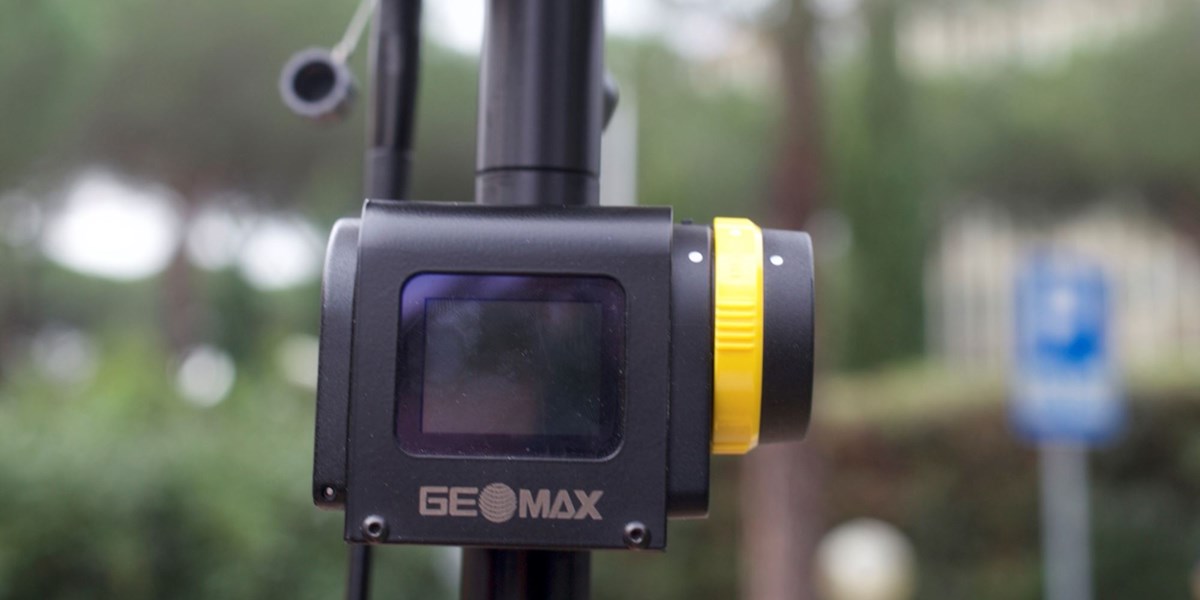
We were excited to report some of the new products announced at Intergeo that included the Geomax Picpoint, and we're pleased to say it's now available to purchase. It was one of the products we were trained on in our recent trip to Rome and we're very excited about its capabilities. So what does it do? Essentially it's a method of measuring the points that wouldn't be directly measurable with a traditional GPS unit through three-point photogrammetry.
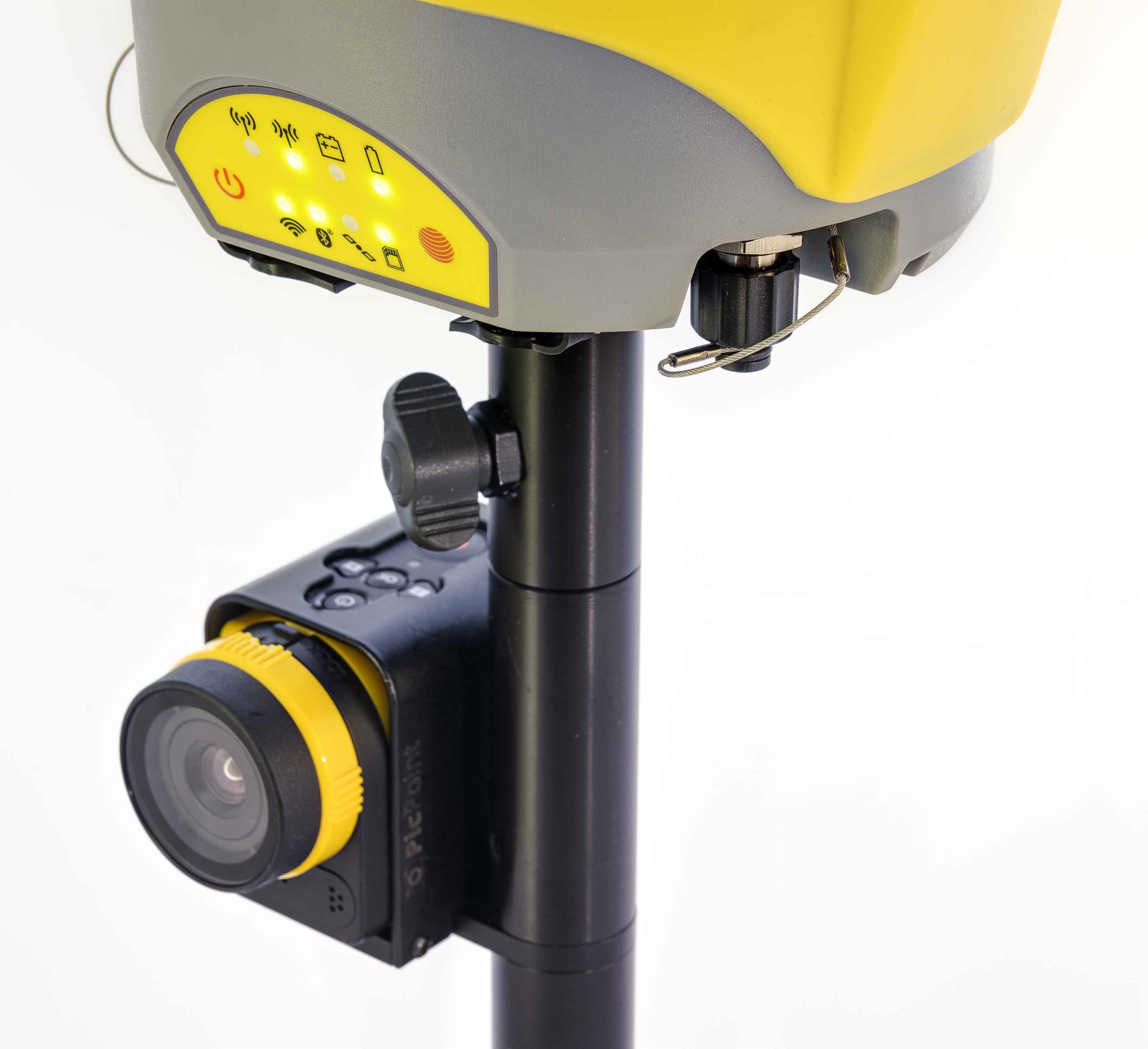 Here's what Geomax say: “PicPoint” combines GNSS measurements with images, taken from the PicPoint camera attached to the pole. The innovative X-PAD Field Software running on an Android tablet uses photogrammetric principles to enable a point determination, CAD drawings and various COGO calculations such as Area and Tie Distance. Of course measured points are visualised in the image allowing a visual completeness check of your survey directly on site. And if you should ever have missed to measure some points, this can be done easily in the office”.
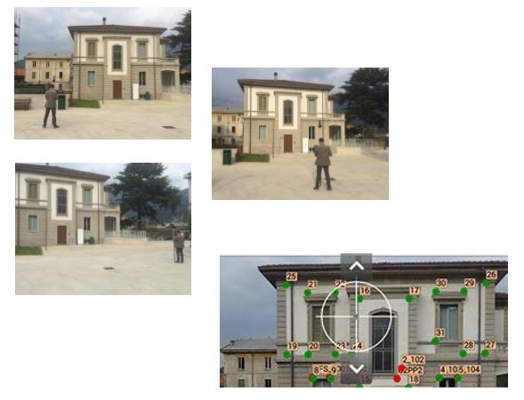
And here's a video of PicPoint in action: www.youtube.com/watch?v=-HC-UPBCk00


Stay up to date
Sign up now to receive the latest style emails, sale alerts and more.